
Spatial Intelligence Has Left the Desktop

Location influences almost every important business decision.
Where are your customers concentrated?Which areas generate the most demand?Where should the next facility be located?Which locations are underserved?What can be reached within 10, 20, or 30 minutes?
These are not simply mapping questions.
They are decision-making questions.
For years, advanced spatial analysis has been associated with complex desktop GIS software and specialist workflows.
DynaCarto was created to make spatial intelligence more accessible, mobile, and practical.
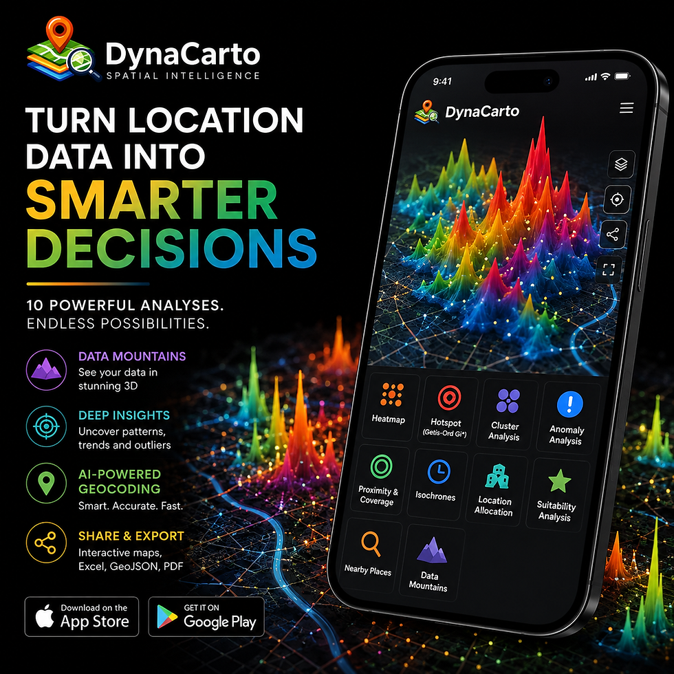
DynaCarto brings 10 powerful geospatial analyses into one mobile application, including Heatmap, Hotspot Analysis, Cluster Analysis, Anomaly Analysis, Proximity & Coverage, Isochrones, Location Allocation, Suitability Analysis, Nearby Places, and Data Mountains.
From Excel to Geographic Insight
Many organizations already have valuable location intelligence hidden inside spreadsheets.
Customer addresses, sales, demand, facilities, transactions, service requests, properties, incidents, or other operational records can all contain important geographic patterns.
With DynaCarto, users can import Excel data and use AI-powered geocoding to transform addresses into mapped locations.
From there, the same dataset can answer very different questions.
A heatmap can reveal demand concentration.
Hotspot Analysis can identify statistically significant high-value areas.
Clustering can help design geographic territories.
Location Allocation can support better facility decisions.
Isochrones can reveal real-world accessibility.
Start With the Question
One of the hardest parts of spatial analysis is knowing which method to use.
DynaCarto's AI Guidance helps users begin with the business question rather than the GIS terminology.
Instead of asking:
“Which analysis tool should I use?”
start with:
“What am I trying to understand?”
Spatial Intelligence, Wherever Decisions Happen
DynaCarto was designed for mobile because decisions do not happen only behind a desk.
They happen in stores, customer meetings, field operations, hospitals, properties, warehouses, and cities.
Users can analyze location data, visualize results, share interactive maps, and export information to Excel, GeoJSON, and PDF directly from a mobile workflow.
DynaCarto is built around one simple idea:
Advanced spatial intelligence should be easier to access without becoming less powerful.
Spatial Intelligence. Smarter Decisions.
Discover DynaCarto and explore 10 advanced geospatial analyses in one mobile app.
Start your 15-day free trial today.

Yorumlar