
What Is Spatial Intelligence? Turning Location Data Into Smarter Business Decisions

Every customer, transaction, facility, service request, delivery, property, and business event happens somewhere.
Yet many organizations still analyze their data without asking one of the most important questions:
Where?
That is where spatial intelligence begins.
What Is Spatial Intelligence?
Spatial intelligence is the ability to analyze data in its geographic context to understand patterns, relationships, accessibility, concentration, and opportunity.
A traditional map may show where 5,000 customers are located.
Spatial intelligence goes much further.
It can help answer questions such as:
Where are customers concentrated?
Which areas generate the highest revenue?
Where are statistically significant hotspots?
Which locations are underserved?
Where should a new facility be located?
Which customers can be reached within 15 or 30 minutes?
Which locations behave differently from the surrounding pattern?
The difference is simple:
A map shows locations. Spatial intelligence explains what those locations mean.
Why Does It Matter for Business?
Most organizations already have valuable geographic information hidden inside everyday business data.
A spreadsheet containing customer addresses, sales, transactions, service requests, facilities, or demand may look like ordinary tabular data.
Once those records are placed on a map and analyzed spatially, new patterns begin to appear.
A retailer can identify areas with strong customer demand and evaluate potential store locations.
A healthcare organization can analyze patient distribution, accessibility, and service coverage.
A logistics company can understand demand concentration and improve the structure of its service network.
A real estate professional can compare locations based on accessibility, surrounding activity, and nearby services.
Sales and marketing teams can discover customer clusters, high-value territories, and geographic growth opportunities.
The data may already exist.
Spatial intelligence reveals the story hidden inside it.
Different Questions Require Different Analyses
There is no single analysis that answers every location-based question.
Heatmaps reveal geographic concentration and intensity.
Hotspot Analysis identifies statistically significant clusters of high or low values.
Cluster Analysis groups nearby locations into meaningful geographic areas.
Anomaly Analysis detects unusual locations, value outliers, and nearby duplicates.
Isochrones show what can be reached within a selected travel time or distance.
Proximity & Coverage Analysis helps identify nearest locations, service gaps, and coverage relationships.
Location Allocation supports decisions about facility locations and how demand should be assigned.
Suitability Analysis helps identify locations that best meet multiple geographic criteria.
Nearby Places reveals businesses, services, facilities, competitors, and other points of interest around a location or along a route.
Each analysis provides a different perspective on the same geographic reality.
From Spreadsheet to Spatial Intelligence
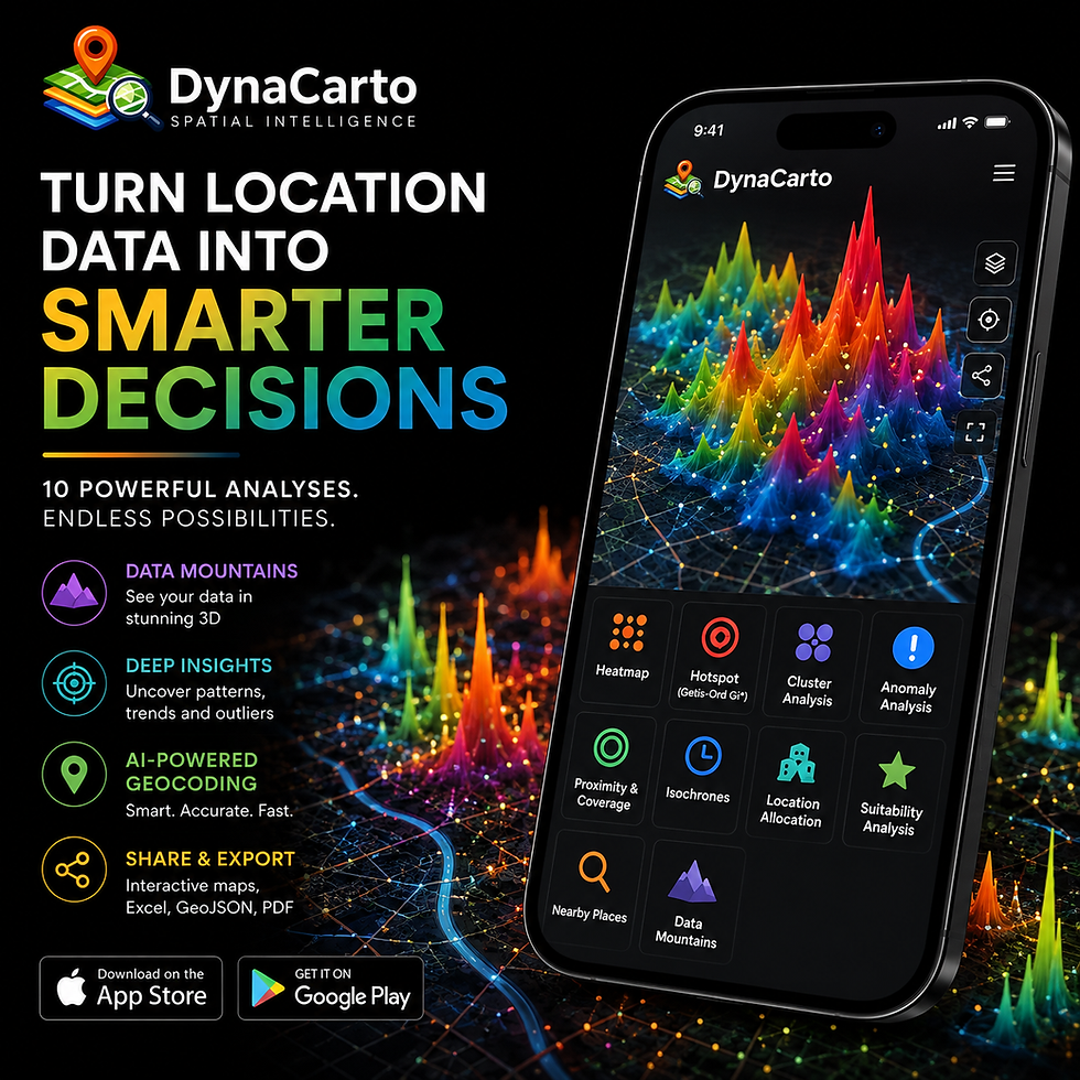
DynaCarto is designed to make this process simple.
Excel Data → AI Geocoding → Locations → Spatial Analysis → Insight
Users can import address-based data, convert addresses into geographic locations with AI-powered geocoding, and then analyze those locations using advanced spatial methods.
The same customer dataset might reveal demand concentration through a Heatmap, significant high-value areas through Hotspot Analysis, natural territories through Cluster Analysis, or potential service gaps through Proximity & Coverage Analysis.
The objective is not simply to create another map.
It is to turn existing business data into information that can support better decisions.
Spatial Intelligence Should Be Accessible
Advanced geospatial analysis has traditionally been associated with specialist desktop GIS environments.
DynaCarto brings spatial intelligence directly to mobile devices with AI Guidance, smart geocoding, 10 advanced geospatial analyses, interactive maps, and professional export capabilities.
Because geographic decisions do not happen only behind a desk.
They happen in stores, customer meetings, field operations, hospitals, properties, warehouses, and cities.
Your business data already contains a geographic story. DynaCarto helps you discover it.
Spatial Intelligence. Smarter Decisions.

Yorumlar